Haisi Measurement and Control Technology


GNSS vs. INS vs. GNSS/INS: Understanding the Differences
In the world of modern navigation and positioning, three acronyms dominate: GNSS, INS, and GNSS/INS. While they sound similar, they represent fundamentally different technologies with unique strengths and weaknesses. Choosing the right one is critical for the performance of your application.
What is GNSS (Global Navigation Satellite System)?
How it works: GNSS receivers (like GPS, BeiDou, GLONASS) calculate their position by precisely timing signals from satellites orbiting the Earth.
Pros: Provides globally accurate position and velocity data. It’s accurate over long periods and doesn’t suffer from drift.
Cons: The signal is weak and can be easily blocked by buildings, bridges, tunnels, or foliage (the “urban canyon” problem). It also requires a clear view of the sky and is vulnerable to jamming and spoofing.

What is INS (Inertial Navigation System)?
- How it works: An INS uses a combination of accelerometers and gyroscopes to measure a vehicle’s specific force and angular rate. It then calculates its position, orientation (attitude), and velocity relative to a known starting point through dead reckoning.
- Pros: It is entirely self-contained and doesn’t rely on external signals. It provides extremely smooth, high-bandwidth data on movement and attitude and is immune to jamming and obstruction.
- Cons: Its position accuracy degrades over time due to the integration of small sensor errors, a phenomenon known as “drift.”
The Best of Both Worlds: GNSS/INS Integration
A GNSS/INS integrated system, like those developed at Haisi MeasureTech, combines both technologies using a sophisticated sensor fusion algorithm (typically a Kalman filter).
- How it works: The GNSS provides absolute position updates to correct the drift of the INS. In return, when GNSS signals are lost or degraded, the INS seamlessly takes over, providing continuous and reliable navigation data based on its last known accurate position and its inertial measurements.
- Pros:
- Continuous & Reliable Navigation: Works in urban canyons, tunnels, and under foliage.
- High Data Output Rate: Provides smooth data between GNSS updates.
- Superior Attitude Information: Offers precise roll, pitch, and yaw angles.
- Resilience: Resistant to jamming and signal loss.
Which System is Right for You?
- Use GNSS alone for applications with a constant, clear view of the sky where cost is a primary driver.
- Use INS alone for very short-duration applications or where no external signals are permissible.
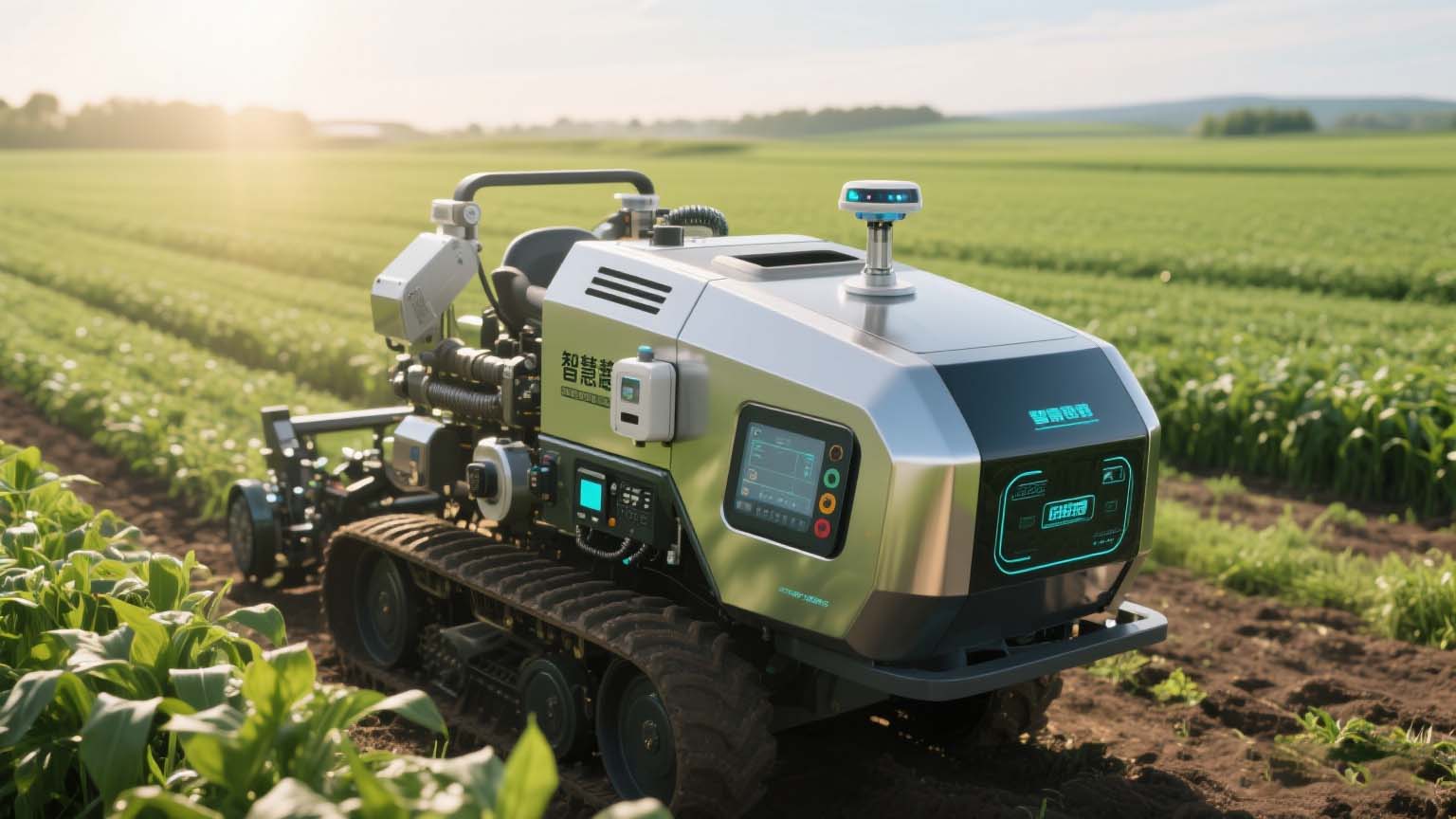
- Use GNSS/INS for demanding applications where continuous, reliable, and high-accuracy navigation is non-negotiable. This includes autonomous vehicles, precision agriculture, marine navigation, and robotics.
At Haisi MeasureTech, we specialize in high-performance, cost-effective GNSS/INS solutions for a wide range of industries. [Explore Our Products] to find the perfect navigation solution for your project.
Video demo
Gallery demo